This week in GeoTalk, we’re talking to Yagmur Derin, a masters student from Middle East Technical University, Turkey. She tells us about the intersecting fields of hydrology, climate science and remote sensing, and what it’s like to take the plunge and present your first poster at an international conference.
Firstly, can you introduce yourself and what you’ve been investigating as part of your MSc course?
I’m Yagmur Derin, MSc student, currently working as a research fellow in Department of Geological Engineering of Middle East Technical University (Ankara, Turkey). I graduated from this same department with the mind that I should get involved in academia. I took courses from different areas of undergraduate study to see what makes me feel most excited. At the end of the graduation I was sure that I should study hydrology and remote sensing in more detail. I was lucky that my current advisor had an open position in one of his projects when I graduated and was able to start working on that project immediately. The project’s focus is to see how satellite rainfall measurements can be applied to hydrologic modelling, and flood monitoring in particular.
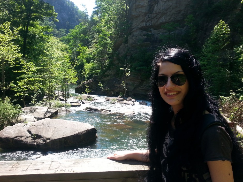
Yagmur Derin out in the field. (Credit: Yagmur Derin)
How can we use satellite data to improve hydrological models?
The accuracy of any hydrologic study depends on the availability of good quality precipitation estimates. Precipitation estimation can be obtained from rain gauges, radar networks and satellites. The most direct physical measurement is conducted by rain gauges, but they are susceptible to certain errors due to location, spatial scale, wind, and density. Our ability to measure precipitation is limited in remote parts of the world and developing countries, where rain gauge and radar networks are either sparse or non-existent (mainly due to the high cost of establishing and maintaining the infrastructure). This situation is further worsened in regions with complex topography where rain gauges are generally located in lowland. This means that highland precipitation, which is the main interest in hydrologic studies, is underrepresented. Fully distributed hydrological models require high resolution information about the precipitation field and its variability. However, interpolating rain gauge measurements in regions with complex topography – especially over data sparse regions – gives erroneous results. Satellite-based precipitation products are perhaps the only data source to fill this important gap.
Recent improvements in satellite-based precipitation retrieval algorithms allowed us to better represent the high variability in precipitation over space and time with near global coverage. This makes satellite data attractive for hydrologic modelling studies in data sparse regions. Satellite-based precipitation algorithms estimate precipitation rate based on remotely-sensed characteristics of clouds, such as reflectivity of clouds (visible), cloud-top temperature (infrared, IR) and scattering effects of raindrops or ice particles (passive-microwave, PMW), and these products have certain limitations too. Ongoing improvements and multiple satellite missions planned for the future make them potentially useful for hydrologic modelling studies.
Earlier this year, you were awarded the Outstanding Student Poster Award for your poster presentation at EGU 2013, what inspired you to attend the conference and present your work?
EGU brings together geoscientists from all over the world, providing a great opportunity for scientists to present and discuss their ideas. Since my career goals lie in academia, my advisor encouraged me to attend the EGU General Assembly back 2012 so that I could meet other scientists and discuss my research.
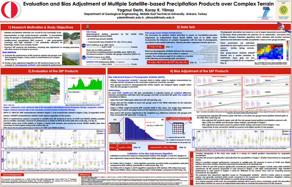
The award-winning poster presented at EGU 2013: “Evaluation and Bias Adjustment of Multiple Satellite-based Precipitation Products over Complex Terrain” (see here for a larger image). (Credit: Yagmur Derin and Koray K. Yilmaz, 2013)
EGU 2012 was my first international conference with a presentation and it definitely helped broaden my perspective. It was a great experience which made me realise that I should study much more if I want to succeed with my MSc studies. Joining talks, poster sessions and communicating with fellow scientists helped me identify my shortcomings and work out how I could overcome them. After one hardworking year, I wanted to attend EGU 2013 too – the whole conference inspired me to study and participate in academia much more. This year, I benefitted from all hard work and I feel much more confident in my studies.
I suggest everyone attends as many sessions as they can during the conference, and that they meet as many scientists as they can too. Explaining present projects and getting feedback on them helps improve your research significantly.
What do you plan to do after you have completed your masters course?
I am planning to defend my MSc thesis in June, 2014 and after that I will continue with a PhD. My area of interest has become more focused throughout my masters and I would like to continue my research in the fields of surface water hydrology, land-atmosphere interaction, rainfall-runoff modelling, hydrometeorology, remote sensing of precipitation and GIS. Currently I am applying several universities for PhDs that are related to my research interests and look forward to the possibility of starting a PhD next year.
If you’d like to suggest a scientist for a Geotalk interview, please contact Sara Mynott.