When stars explode, supernova-style, the explosion sets off streams of high energy particles across the universe, mainly protons and alpha particles, that after millions of years reach us here on Earth. Secondary cosmic rays pass through our bodies and almost everything around us, and they penetrate a few meters into the ground where they interact with atoms in soil and rock. This produces new iso ...[Read More]
Looking for answers towards the stars: stone tools and nuclides unveil the earliest solid evidence of humans in Europe.
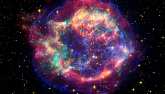
This false-color image from three of NASA's Great Observatories provides one example of a star that died in a fiery supernova blast. Called Cassiopeia A, this supernova remnant is located 10,000 light-years away in the constellation Cassiopeia. Credit: NASA/JPL-Caltech/STScI/CXC/SA