One of the realities of studying the Earth, planetary or space sciences is that we are attempting to observe an experiment that has been in progress for billions of years, with variables that are most often far outside of our control. Many researchers try to understand these systems by recreating aspects of it, either in analogue experiments or by using simulations, where the variables can be adju ...[Read More]
The best Christmas gift you could ask for: how a rare solar event created a once-in-a-lifetime Martian experiment
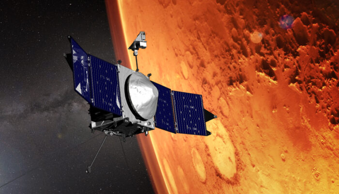
An artist's concept of the MAVEN craft orbiting Mars (Credit: NASA/GSFC).